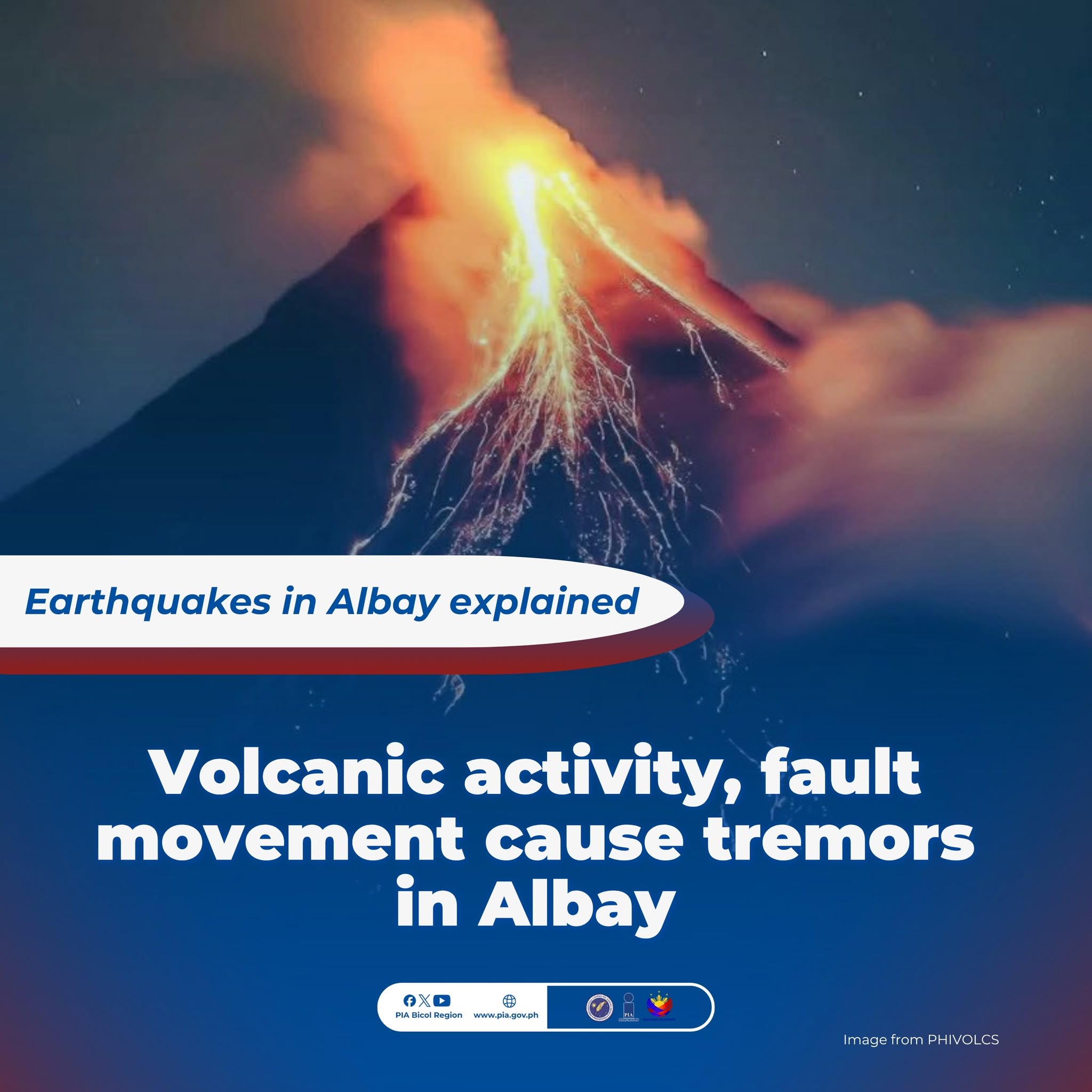
People living near Mount Mayon often feel the ground move. Sometimes it’s just a light tremor, like a breeze, but other times it’s a sharp jolt that can knock dishes off the counter. For those in the communities around the volcano in Albay, it’s normal to expect that the ground won’t always be steady.
On Friday, June 5, more than a dozen volcanic earthquakes and tremors shook the area around Mayon. State volcanologists recorded 14 volcanic earthquakes and three volcanic tremors in a 24-hour period.
As night fell over Albay, the volcano’s seismic activity intensified.
At 9:57 p.m., a magnitude 5.3 earthquake struck Albay, making the ground shake even more than the volcano usually does. The quake’s center was 15 kilometers east of Santo Domingo, a town close to the base of Mayon, and it was 9 kilometers deep.
A minor rockfall was recorded at Kapuntukan Hill along Legazpi Boulevard following the earthquake.
The Municipal Disaster Risk Reduction and Management Office (MDRRMO) of Sto. Domingo reported two minor rockslide incidents in Barangay Alimsog and another in Barangay Buhatan after the earthquake.
The roads near the affected areas remain passable, but motorists have been advised to exercise caution, according to the MDRRMO. Albay Governor Noel Ebriega Rosal led an engineering team to assess the structural integrity of government buildings and other infrastructure.
After the earthquake, cracks were found in a road and a seaport under construction in Sitio Balete, Barangay Alimsog, according to Rosal’s Facebook post.
Intensity V was felt in Santo Domingo and Legazpi City, Albay.
Intensity IV was reported in Ligao City, Tabaco City, and Malilipot, Albay, as well as in Sorsogon City, Irosin, and Donsol, Sorsogon
Intensity III was felt in Malinao, Albay; Naga City, Camarines Sur; Sorsogon City, Juban, and Prieto Diaz, Sorsogon; as well as in Monreal, Masbate
Intensity II was reported in Goa, Camarines Sur; Bulan, Sorsogon; Allen, Biri, Bobon, Catarman, Lavezares, Rosario, and San Jose, Northern Samar; Masbate City, Dimasalang, and San Fernando, Masbate. Meanwhile, the Philippine Institute of Volcanology and Seismology logged the following instrumental intensities:
Intensity VI: Tabaco City, Albay
Intensity V: Castilla, Sorsogon
Intensity IV: Sorsogon City, Sorsogon; Iriga City, Camarines Sur
Intensity III: Prieto Diaz, Sorsogon; Sagñay, Sipocot, and Pili, Camarines Sur; Mercedes, Camarines Norte; Monreal, Masbate
Intensity II: Ragay and Pasacao, Camarines Sur; Milagros, Masbate; Gandara, Samar; San Roque, Northern Samar
Intensity I: Aroroy, Masbate; Gumaca, Quezon
Reported intensity refers to the traditional method of assessing earthquake intensity based on people’s experiences.
On the other hand, instrumental intensity is assessed with a device that measures how much the ground is shaking.
As of 9 a.m. on Monday, there have been approximately 23 aftershocks, all weaker than the main movement. The strongest aftershock recorded so far had a magnitude of 3.9 and occurred at 2:51 a.m. on Sunday.
Prior to the magnitude 5.3 earthquake, Phivolcs recorded a magnitude 4.1 quake northeast of Sto. Domingo at 7:22 p.m., followed by a magnitude 3.1 tremor around 8:09 p.m.
Seismologists suggested that the active fault segments and systems near Sto. Domingo are part of a dense network connected to the larger Philippine Fault Zone.
𝟏𝟓𝟒 𝐝𝐚𝐲𝐬 𝐨𝐟 𝐜𝐨𝐧𝐭𝐢𝐧𝐮𝐨𝐮𝐬 𝐞𝐫𝐮𝐩𝐭𝐢𝐨𝐧
Meanwhile, Mayon’s current eruption has lasted more than 150 days, making it the longest continuous eruption recorded since 1616.
The volcano has shown steady lava flow, repeated pyroclastic density currents, sulfur dioxide emissions, and volcanic earthquakes, all signs that magma is still being supplied.
About 1,123 families, or 4,103 people, are still staying in government-provided emergency shelters.
Source: PIA Bicol/EDelgado