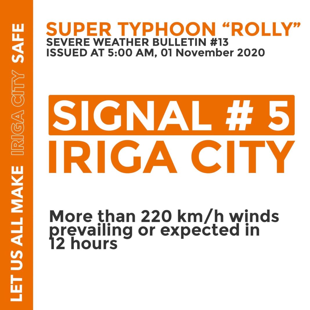
At 4 AM today, the eye of Super Typhoon “ROLLY” was located in the vicinity of Bato, Catanduanes (13.6 N, 124.3 E).
Maxwinds/Gust: 225 kph / 280 kph
Movement: West Southwestward at 25 kph
Heavy to intense with at times torrential rains over Bicol Region.
High risk of storm surge of more than 3.0 m over the coastal areas of Camarines Sur.
Rough to phenomenal seas (2.5 to 16.0 m) will be experienced over the seaboard of areas where TCWS is in effect.
After traversing the southern portion of Catanduanes, the center of the typhoon will cross Lagonoy Gulf and make landfall over the southern portion of Camarines Sur or the northern portion of Albay this morning.
TCWS #5 – The eastern portion of Camarines Sur (Caramoan, Presentacion, Garchitorena, Lagonoy, Tinambac, Calabanga, Siruma, Tigaon, Bombon, Magarao, Camaligan, Gainza, Canaman, Milaor, Naga City, Minalabac, Balatan, Bula, Pili, Ocampo, Goa, San Jose, Sagnay, Buhi, Iriga City, Baao, Nabua, Bato)
TCWS #4 – The rest of Camarines Sur
Please keep monitoring for updates
(Source: PDRRMC CAMSUR)

